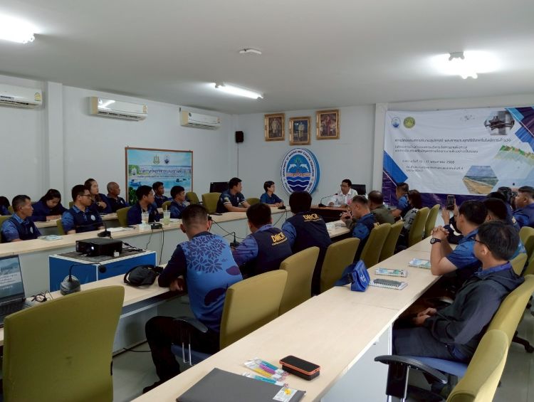
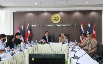
The Department of Marine and Coastal Resources (DMCR) manages and addresses coastal erosion in Thailand. To enhance the efficiency of coastal monitoring, data management, and policy planning, the Faculty of Marine Technology of Burapha University was commissioned to develop a systematic Coastal Management System and strengthen the capacity of DMCR personnel in coastal survey technology. This initiative integrates Unmanned Aerial Vehicles (UAVs), Global Navigation Satellite System (GNSS), and geospatial data processing to support precise and timely decision-making in coastal resource management and erosion prevention. The project aligns with SDG 13 (Climate Action) and SDG 14 (Life Below Water) by improving resilience and sustainability in coastal zones.
Project Coordinator: Assistant Prof. Dr. Wirote Laongmanee
Objectives:
To build capacity among DMCR officers in coastal surveying using advanced geospatial technology.
To develop UAV-based aerial survey technology for high-resolution mapping.
To establish a coastal database integrating shoreline morphology, coastal structures, and erosion control measures.
To design a monitoring and analytical system for coastal change detection and policy support.
To implement an integrated coastal management platform for long-term sustainable planning.
Program Activities:
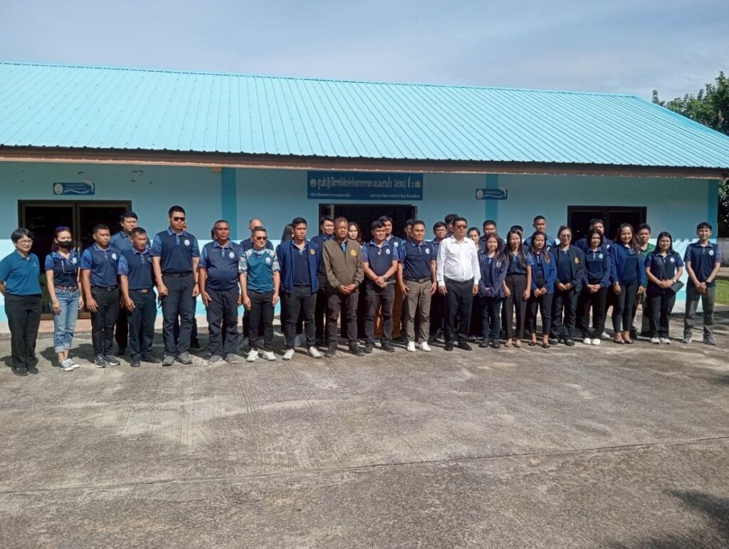
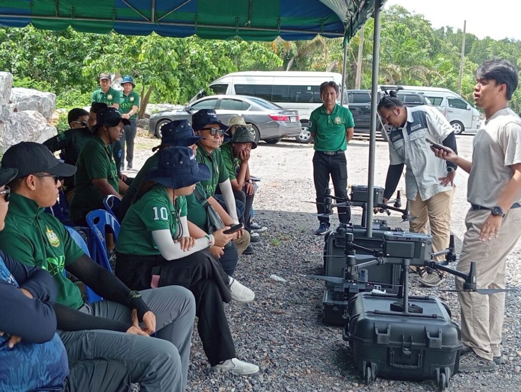
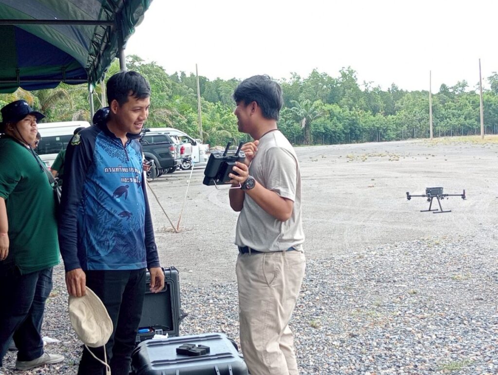
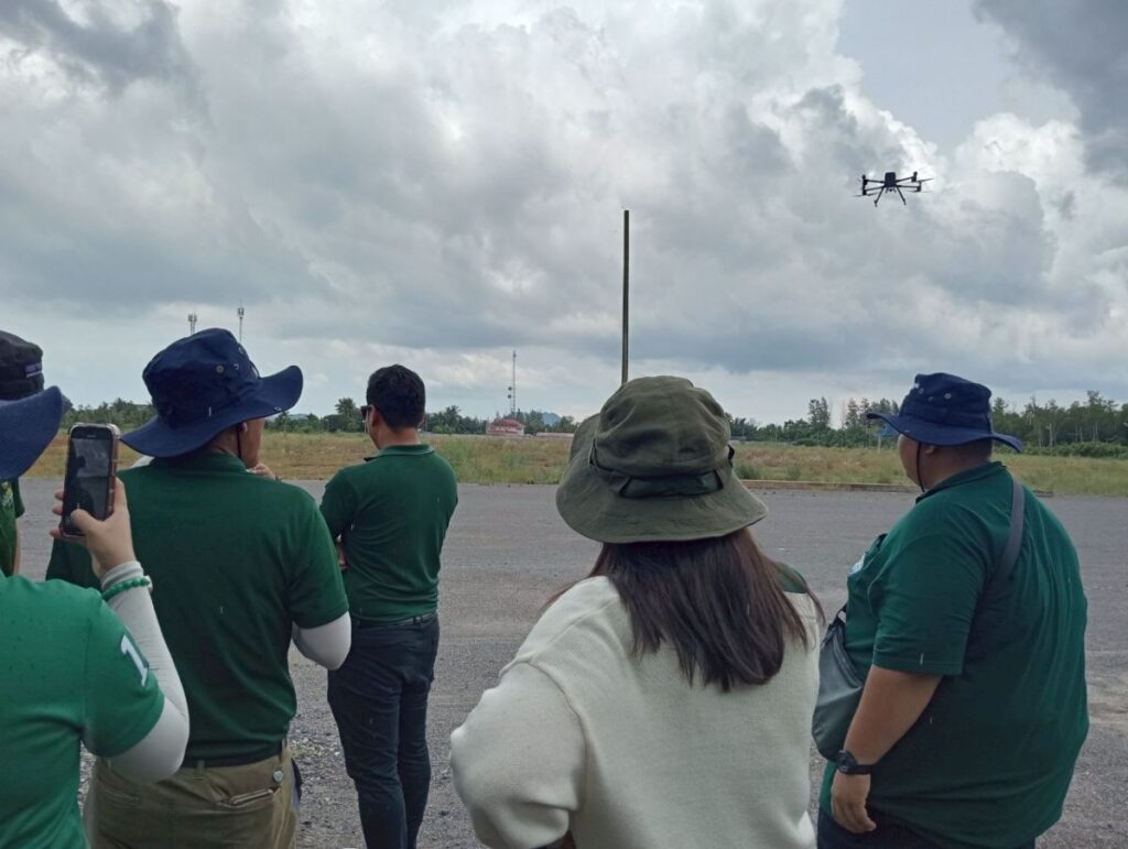
The project included equipment delivery and capacity-building activities: • Delivery of 10 UAV sets and 10 high-precision GNSS receivers. • Installation of data processing software for aerial imagery and geospatial analysis. • Organisation of a 3-day training workshop for 35 DMCR officers, covering: o UAV operation and flight planning o Aerial mapping and photogrammetry o GNSS surveying and data collection o Image processing and data analysis • Provision of training manuals and digital guides to ensure sustainable system usage. • Development of a web-based and mobile management system to support real-time coastal monitoring.
Expected Outcomes (Impacts):
Strengthened the technical capacity of DMCR personnel in modern coastal survey and management.
Improved data accuracy and efficiency in monitoring coastal changes.
Established a standardised system supporting evidence-based decision-making for coastal erosion management.
Enhanced national capacity for sustainable coastal resource management aligned with SDGs.
Promoted innovation and technology in environmental governance and resilience planning.